
-
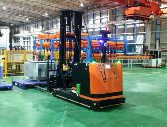 Forklift handling mobile robot
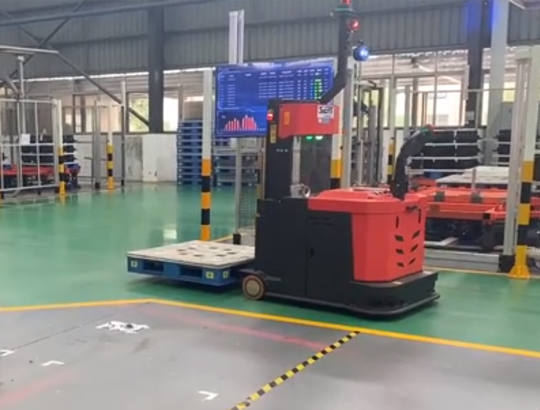 Reach mobile robots
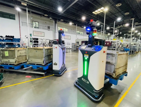 SLIM
SLIM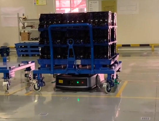 Jacking robot
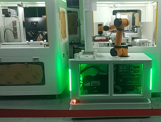 Cooperation robot
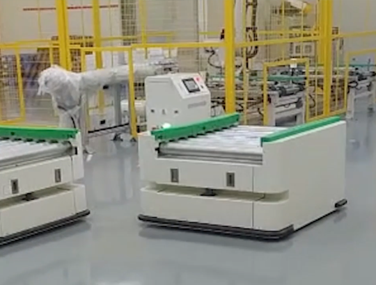 Roller mobile robot
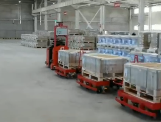 Towing mobile robot
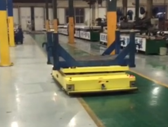 Platform handling robot
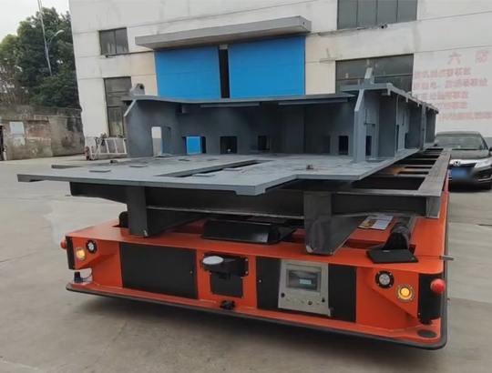 Heavy-load robot
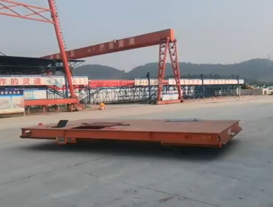 Outdoor loading mobile robot
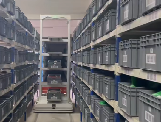 Pick robot
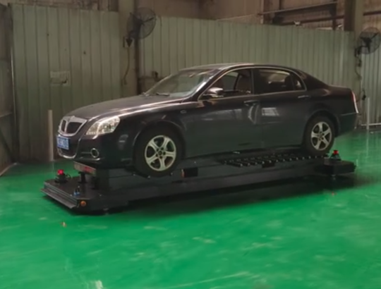 Parking robot
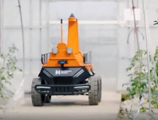 Agricultural robot
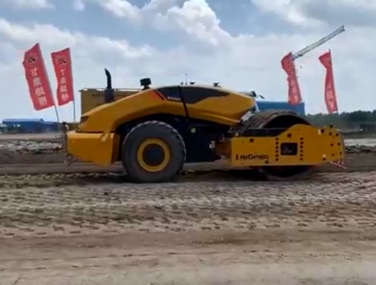 Driverless Road Roller robot
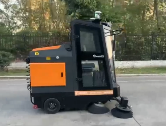 Driverless Sanitation vehicle

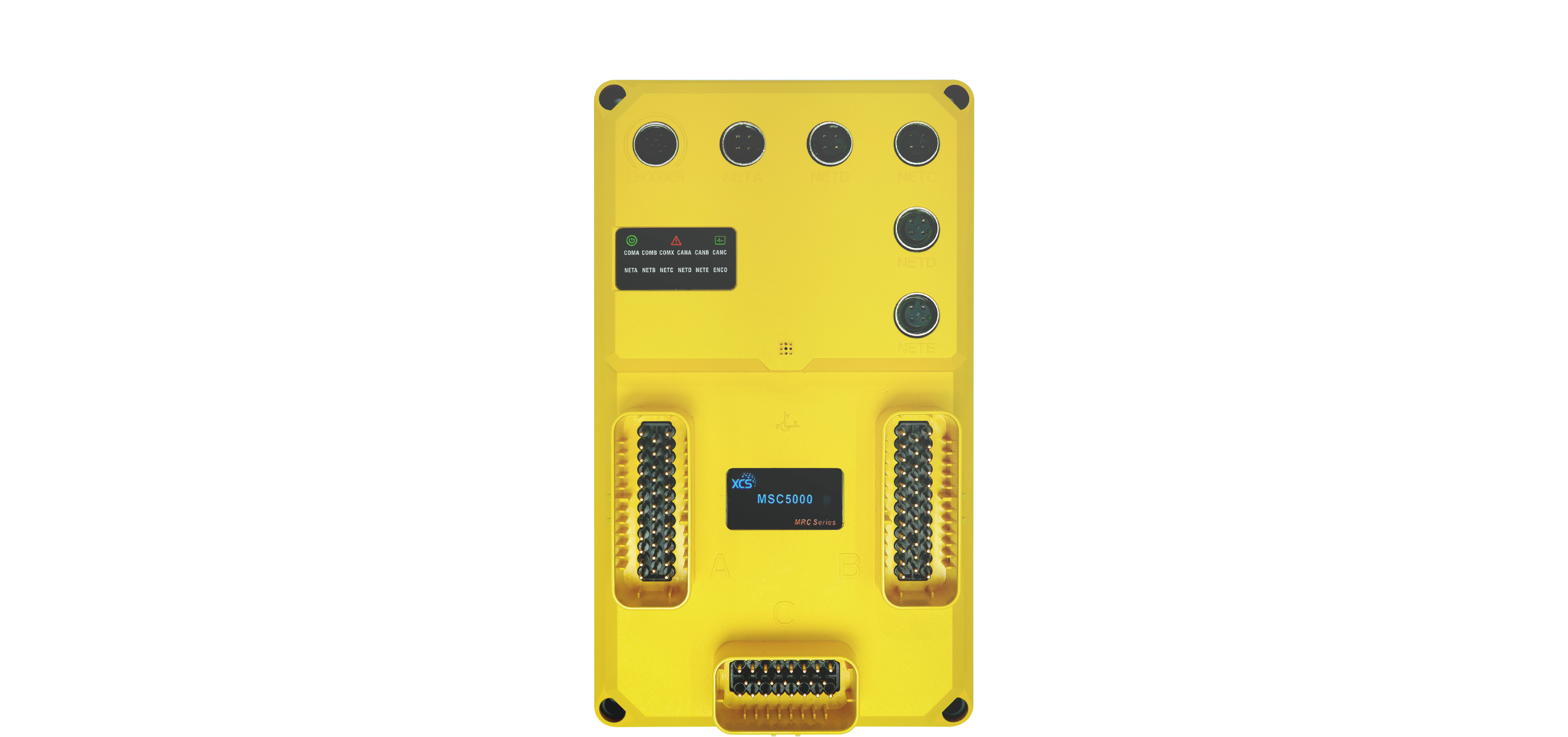


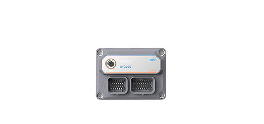
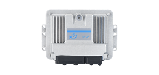
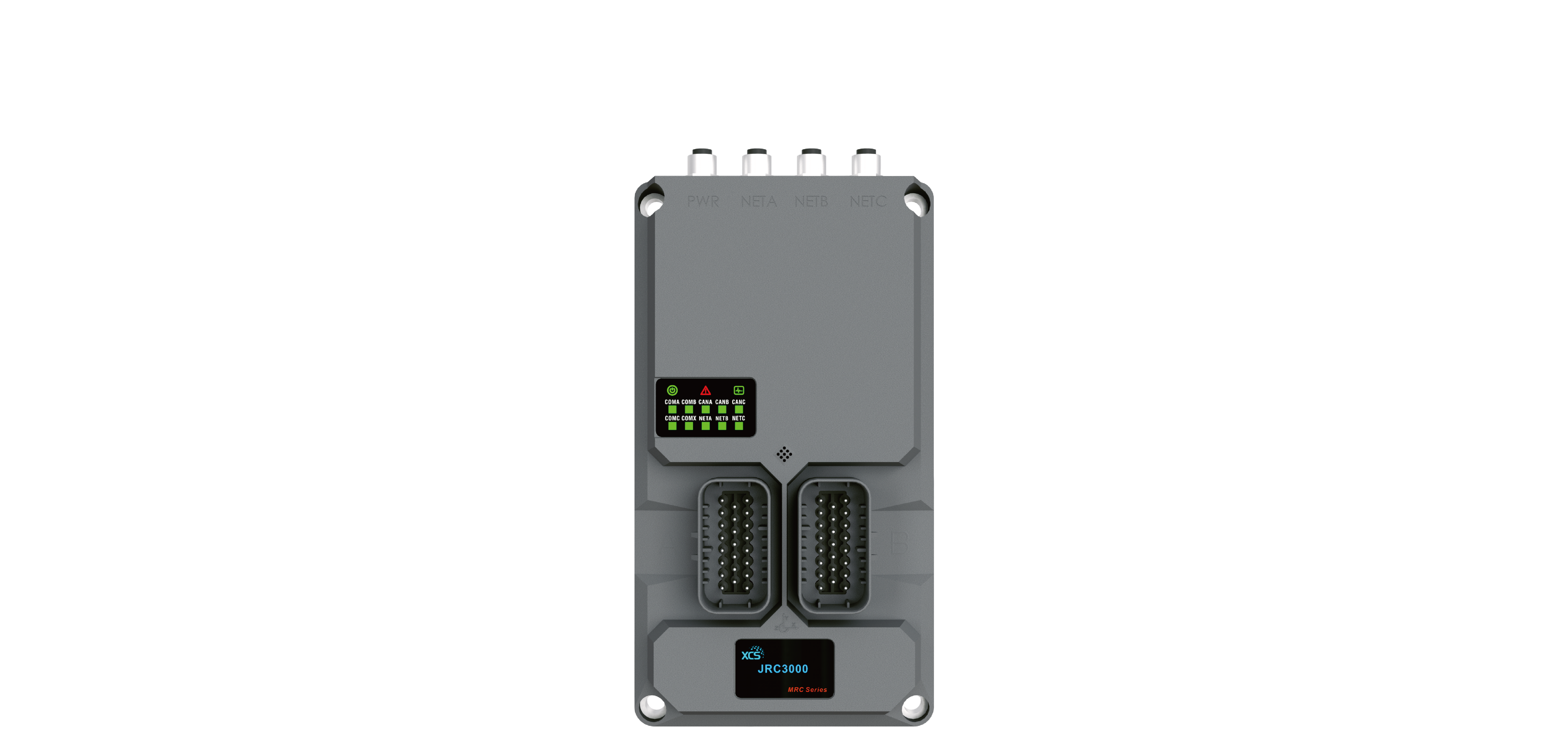
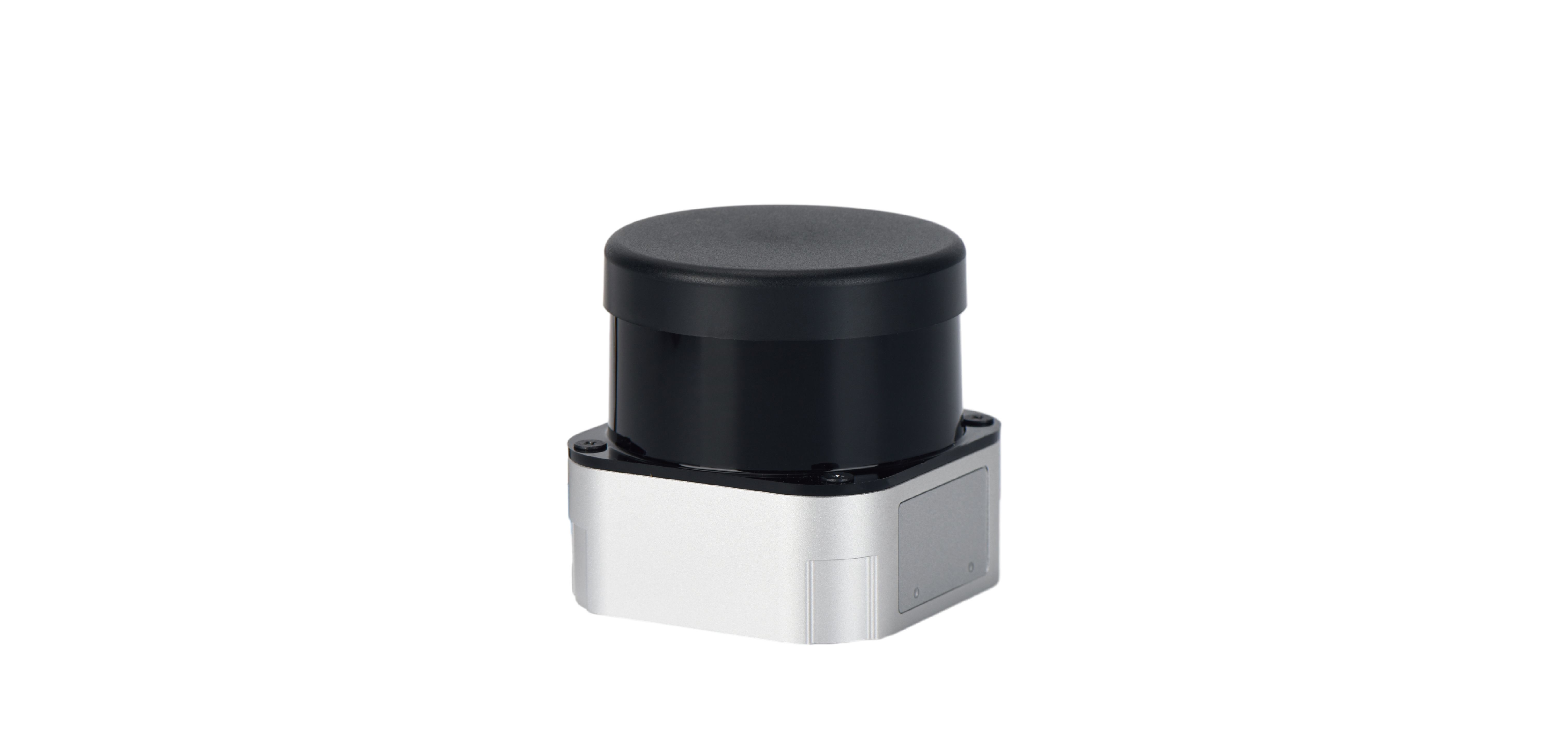


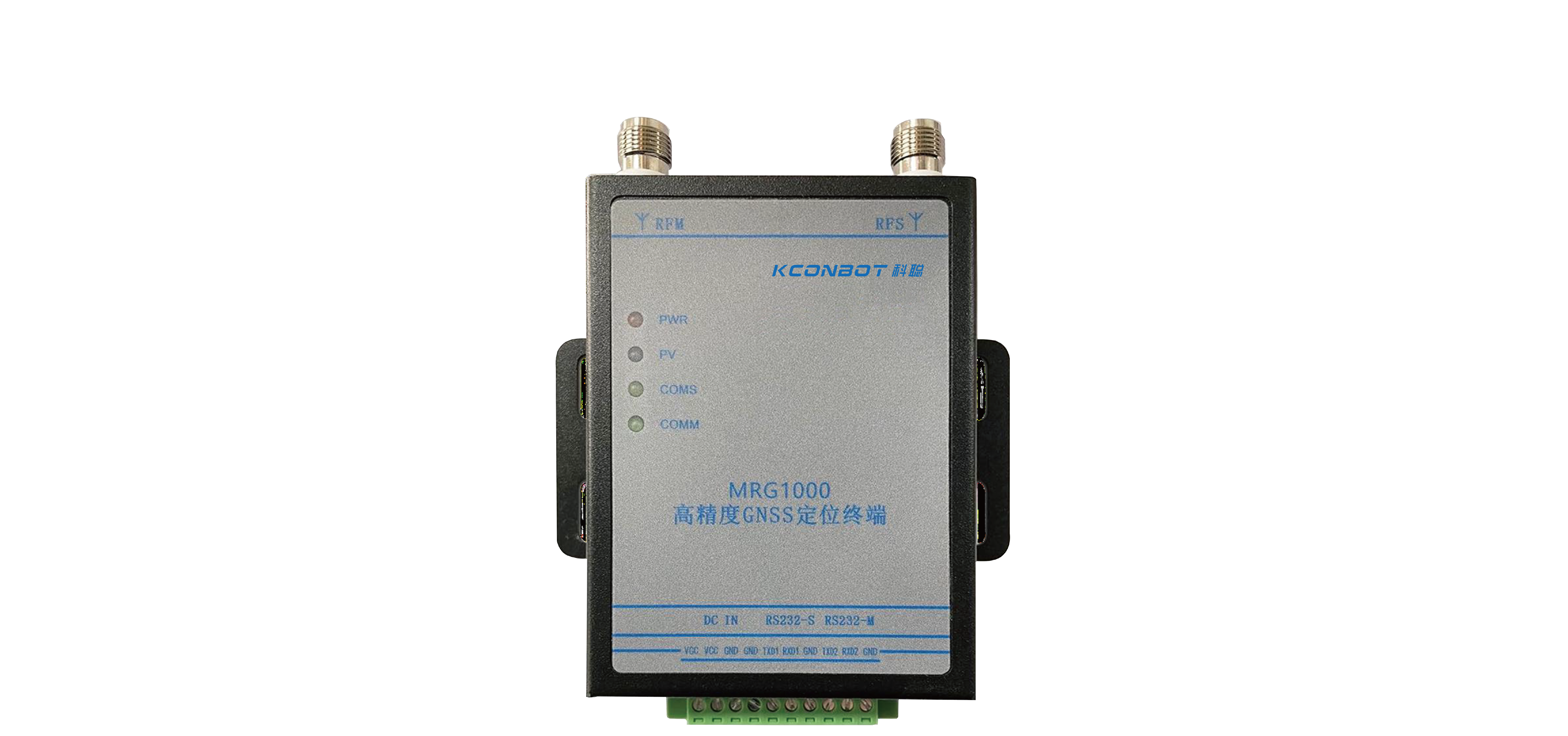
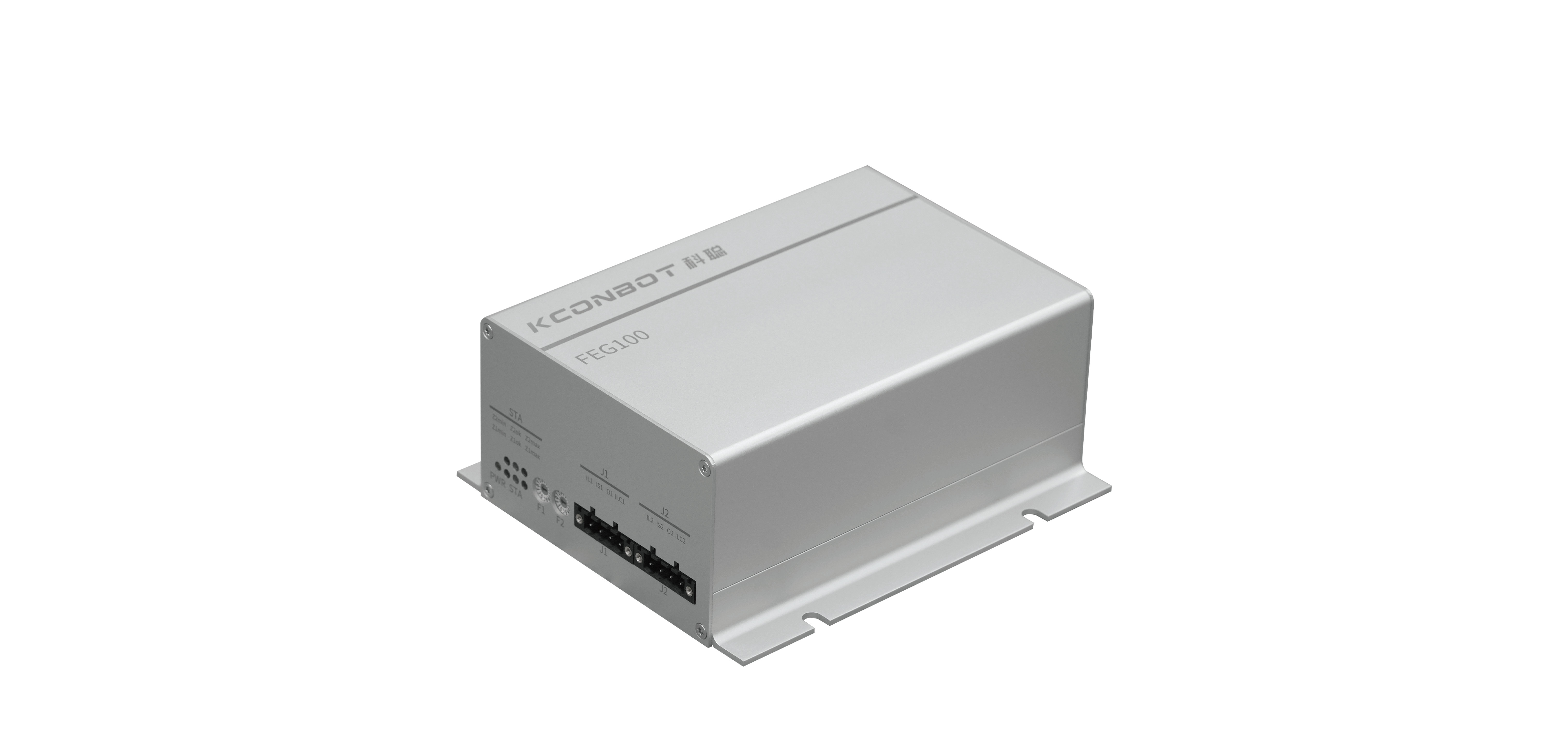
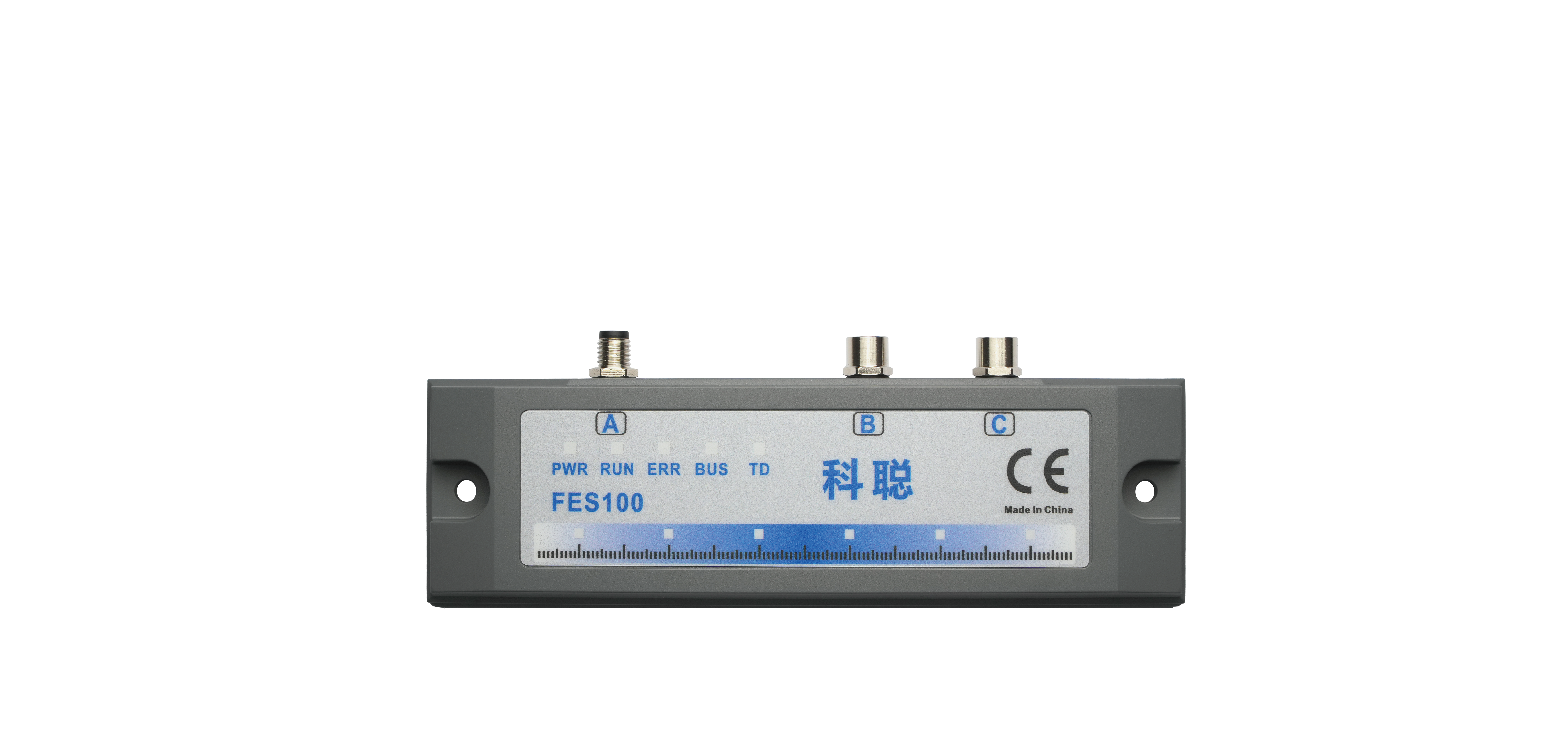
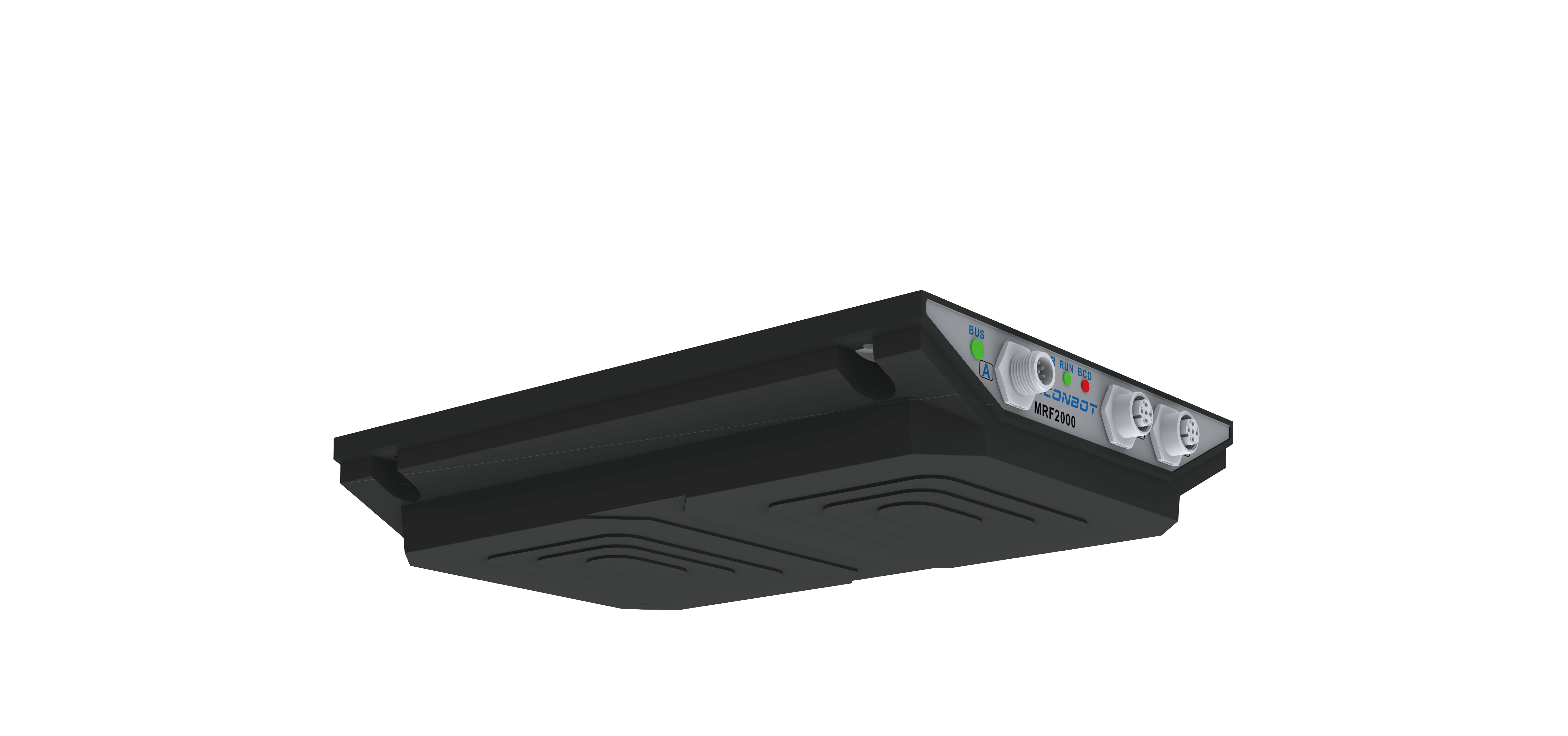

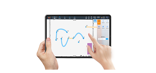

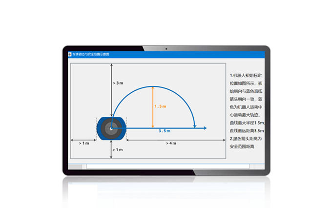








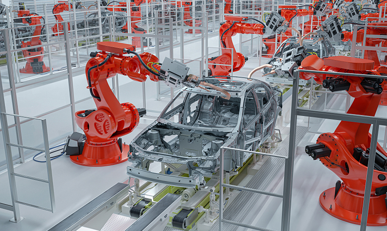
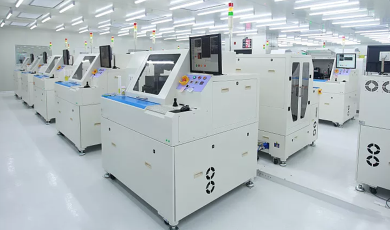









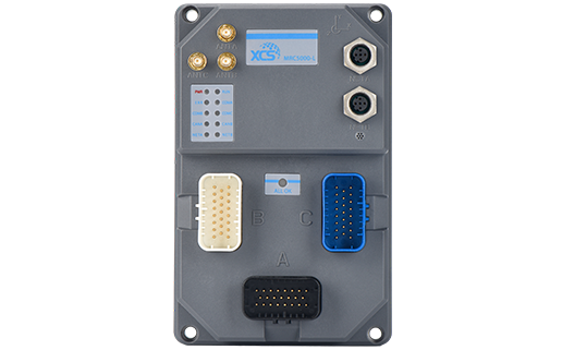
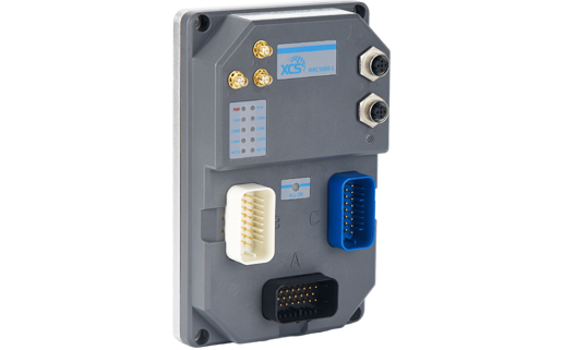
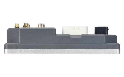
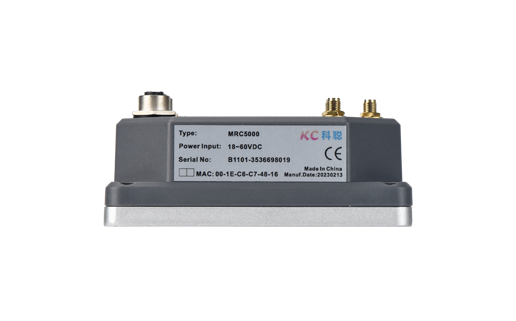
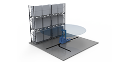
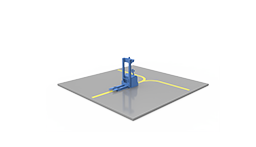
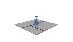
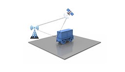



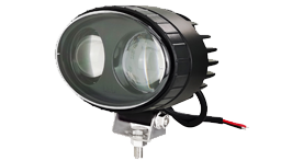
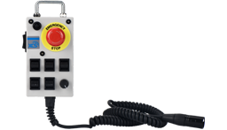

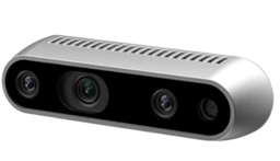
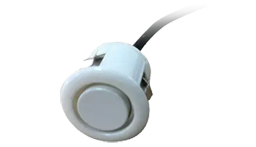
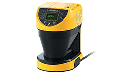
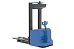
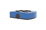
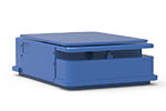
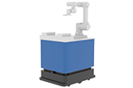
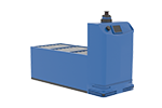
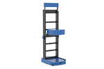
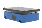
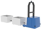
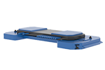
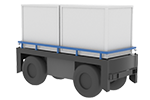
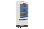

Model | MRC5000-L | MRC5000-Q | MRC5000-M | MRC5000-U |
Description | General-Purpose Laser Navigation Controller | General-Purpose QR-Code Navigation Controller | General-Purpose Magnetic Navigation Controller | General-Purpose 3D LiDAR Navigation Controller |
Dimensions W x H x D (mm) | 195.5 x 125.5 x 44.5 | 195.5 x 125.5 x 44.5 | 195.5 x 125.5 x 44.5 | 195.5 x 125.5 x 44.5 |
Protection Rating | IP65 | IP65 | IP65 | IP65 |
Temperature | -40℃~+80℃ | -40℃~+80℃ | -40℃~+80℃ | -40℃~+80℃ |
Humidity | 10%~90%RH No Condensation | 10%~90%RH No Condensation | 10%~90%RH No Condensation | 10%~90%RH No Condensation |
EMC | Industrial Level 3 | Industrial Level 3 | Industrial Level 3 | Industrial Level 3 |
IMU | √ | √ | √ | √ |
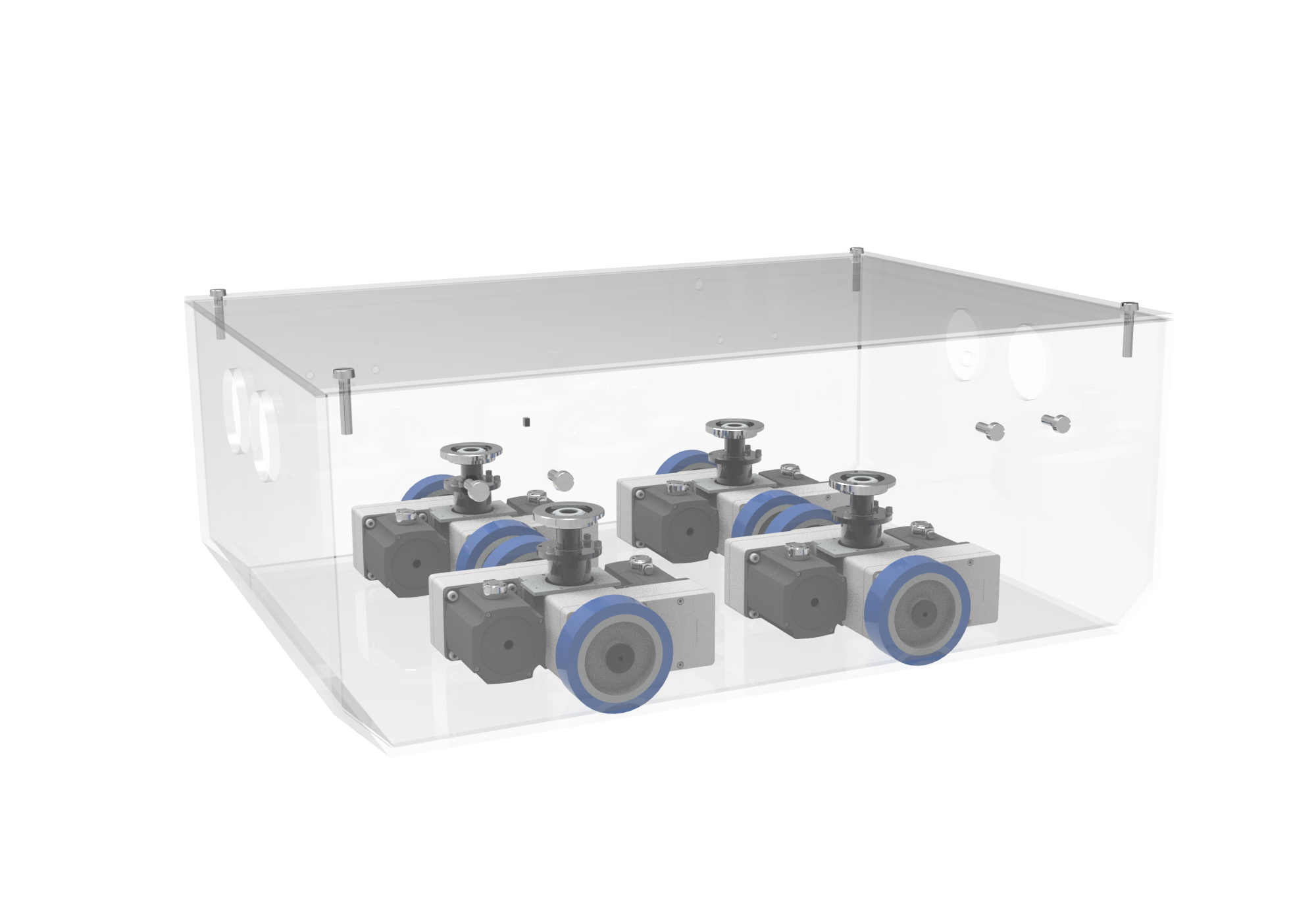
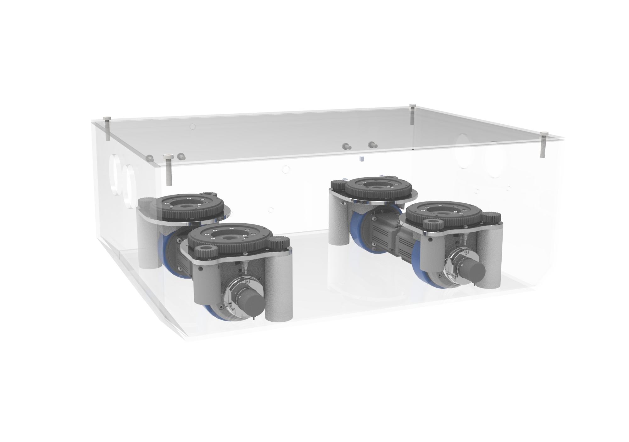
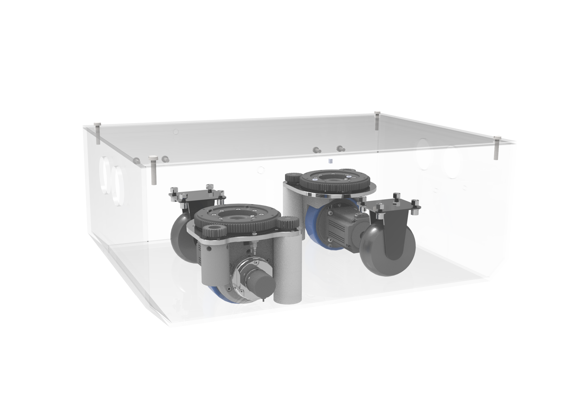
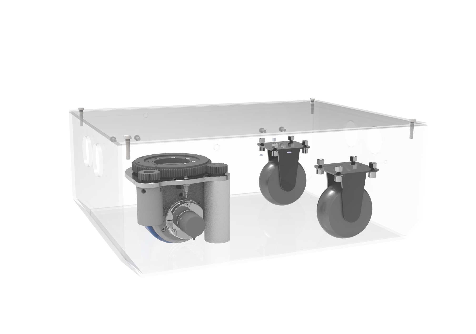
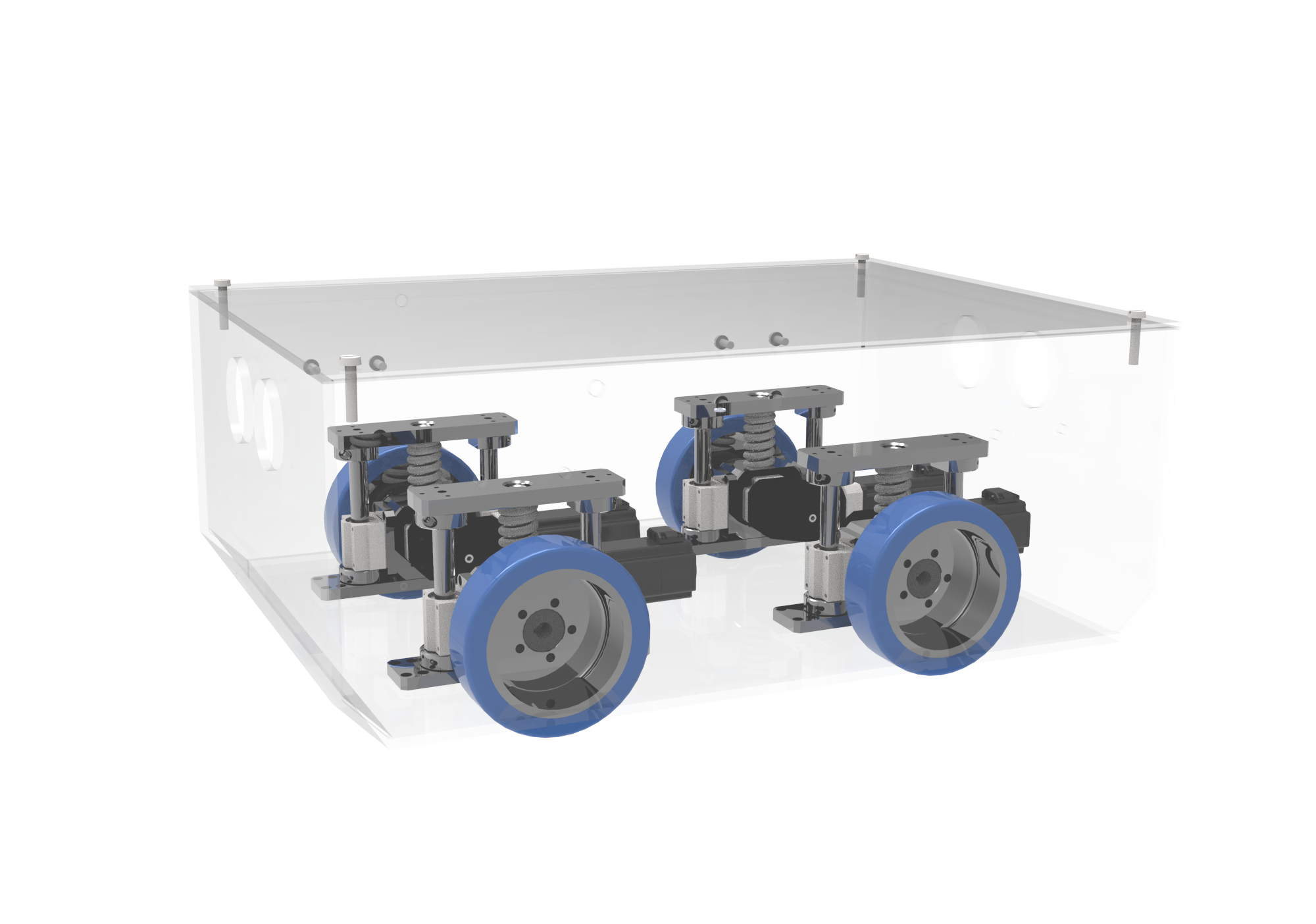
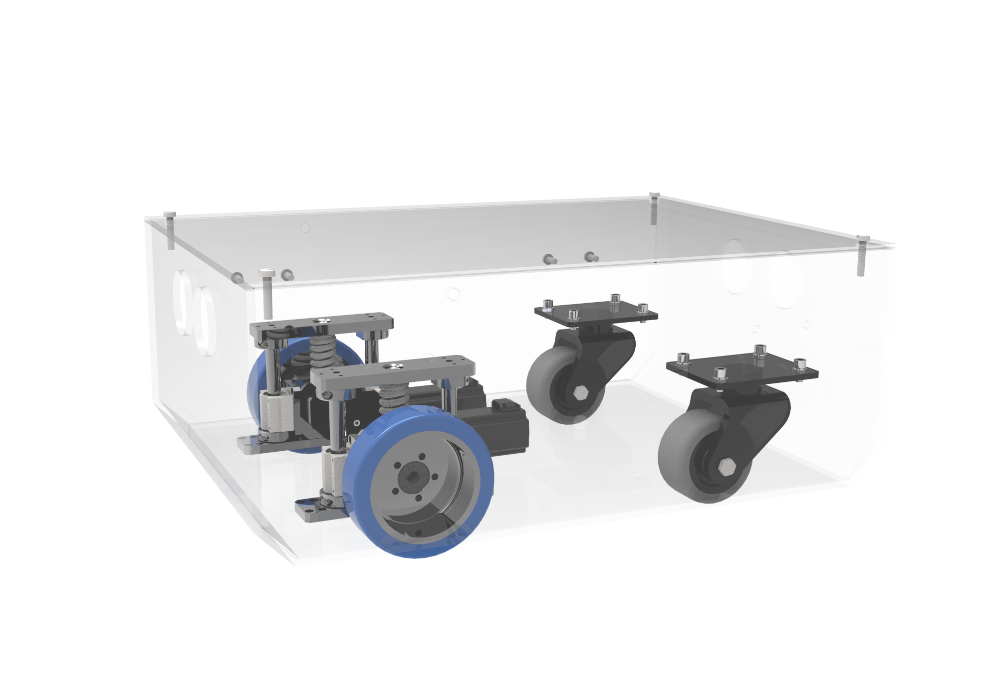
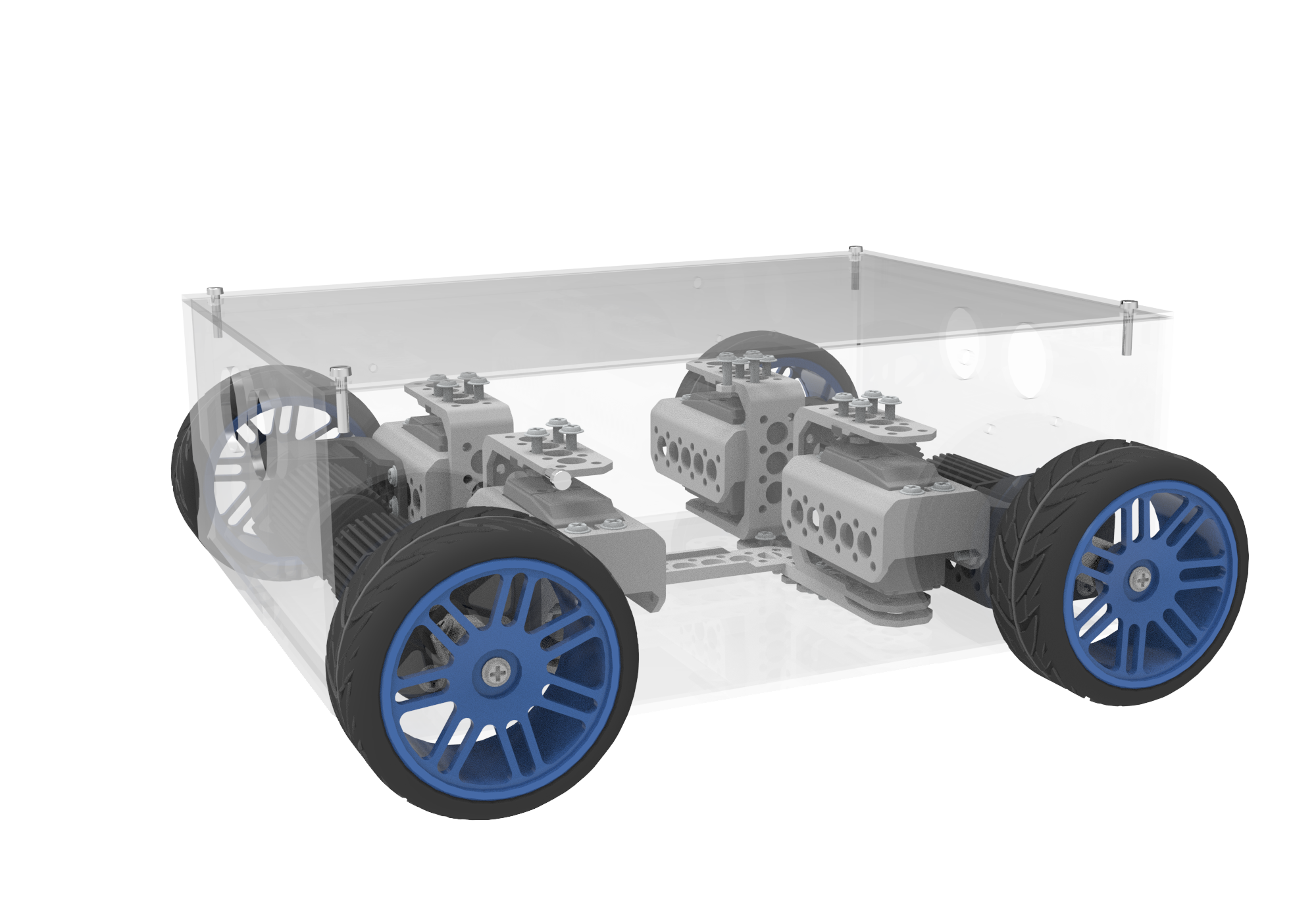
Differential-Drive Chassis Model | 2-Wheel Differential Drive, 4-Wheel Differential Drive | 2-Wheel Differential Drive, 4-Wheel Differential Drive | 2-Wheel Differential Drive, 4-Wheel Differential Drive | 2-Wheel Differential Drive, 4-Wheel Differential Drive |
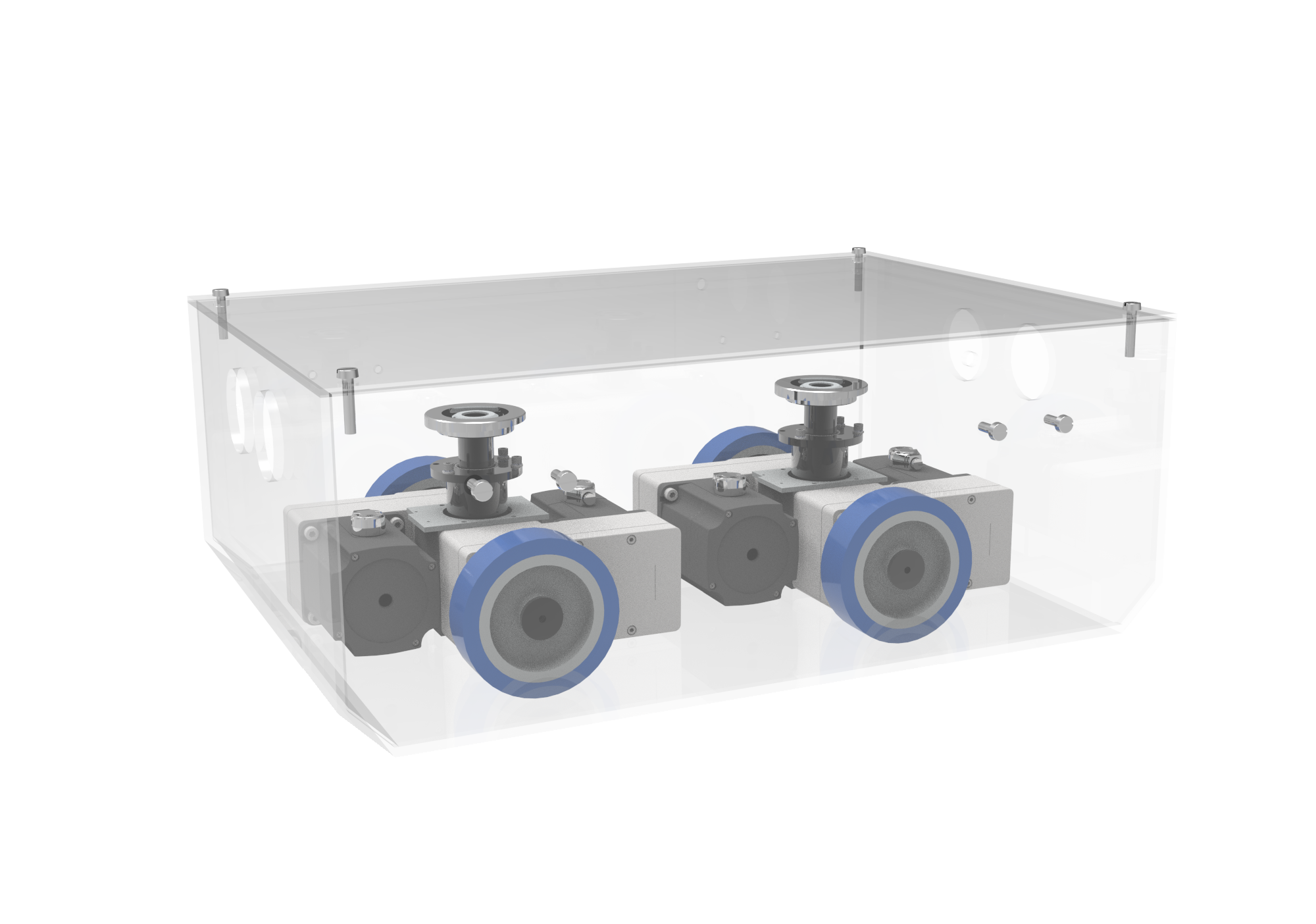
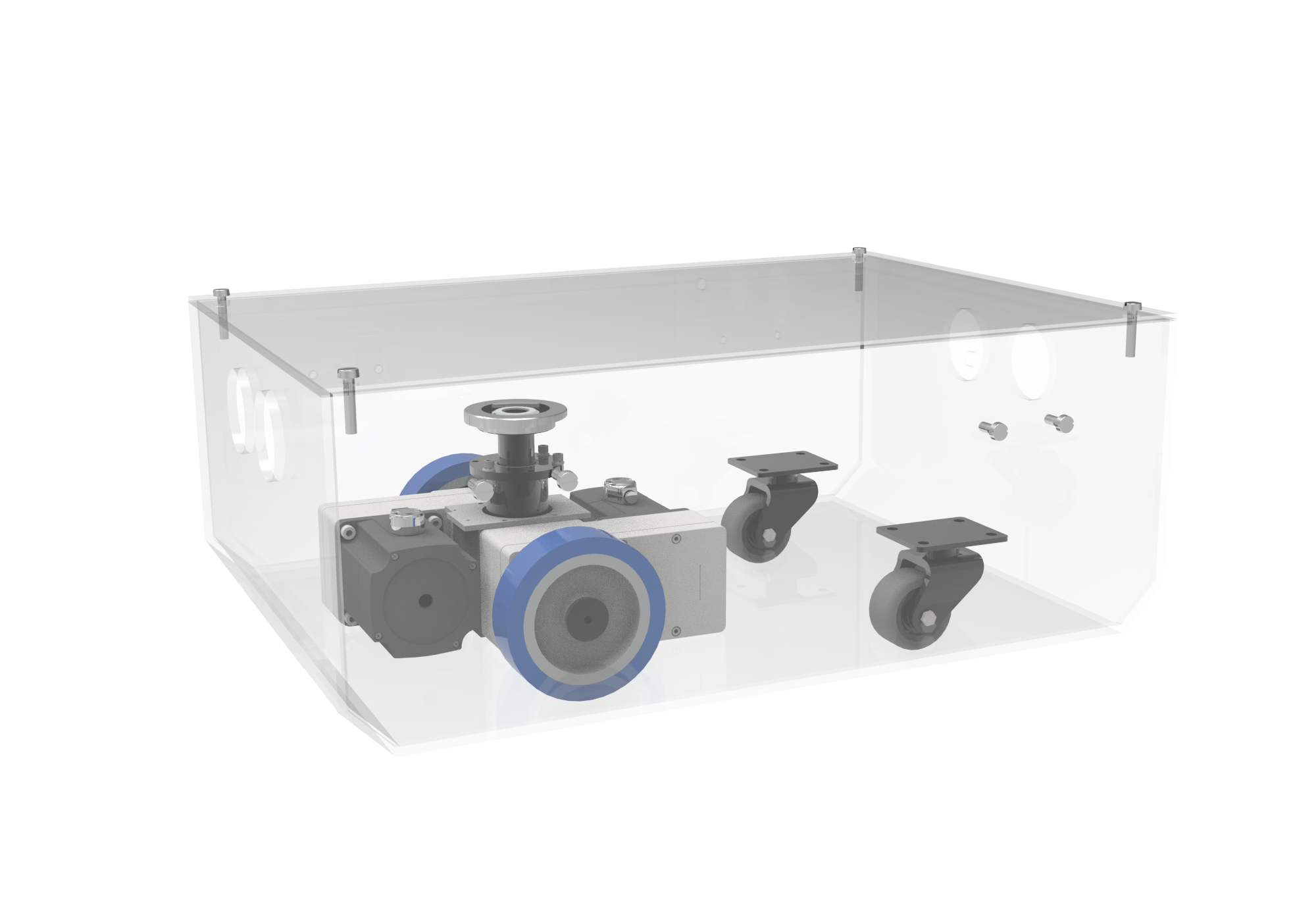
Steer-Wheel Chassis Model | Single Steer Wheel, Dual Steer Wheels, Four Steer Wheels | Single Steer Wheel, Dual Steer Wheels, Four Steer Wheels | Single Steer Wheel, Dual Steer Wheels, Four Steer Wheels | Single Steer Wheel, Dual Steer Wheels, Four Steer Wheels |
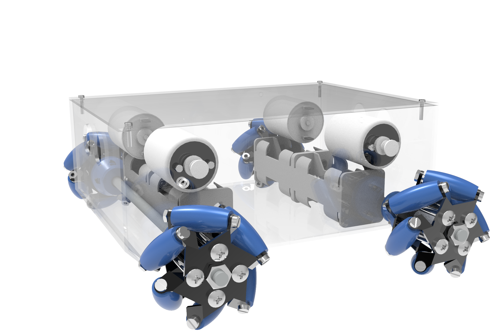
Other Chassis Models | Differential Drive Module, Mecanum Wheels, and Custom Chassis | Differential Drive Module, Mecanum Wheels, and Custom Chassis | Differential Drive Module, Mecanum Wheels, and Custom Chassis | Differential Drive Module, Mecanum Wheels, and Custom Chassis |
Laser Navigation | √ | × | × | 3D LiDAR Navigation |
QR-Code Navigation | √ | √ | × | × |
Magnetic Navigation | √ | × | √ | × |
Other Navigation Methods | GNSS Navigation and Other Methods | × | × | GNSS Navigation and Other Methods |
Navigation Positioning Accuracy | ±5mm ±2mm (Reflector), GNSS Navigation ±50 mm | ±5mm ±2mm (Reflector) | ±5mm ±2mm (Reflector) | 3D LiDAR Navigation ±10 mm, GNSS Navigation ±50 mm, GNSS + 3D LiDAR Hybrid Navigation ±25 mm |
Angular Control Accuracy | ±0.5° | ±0.5° | ±0.5° | ±1° |
Map Area | ≤400000㎡ | - | - | ≤400000㎡ |
CAN (Channels) | 2 | 2 | 2 | 2 |
RS485/RS232/RS422 (Channels) | 1/1/1 | 1/1/1 | 1/1/1 | 1/1/1 |
AI/AO | 2/2 | 2/2 | 2/2 | 2/2 |
DI/DO/DIO | 16/16/× | 16/16/× | 16/16/× | 16/16/× |
Encoder (Channels) | 2 | 2 | 2 | 2 |
Wired Industrial Ethernet | 2 | 2 | 2 | 2 |
Wireless Debug Interface | √ | √ | √ | √ |
Robot Design Software | √ | √ | √ | √ |
Robot Application Software | √ | √ | √ | √ |
Robot Monitoring & Scheduling Software | Optional | Optional | Optional | Optional |
Expansion Features | Pallet Recognition, Visual Positioning, Pallet-Leg Recognition, Follow-Me Function, Landmark Secondary Positioning, Navigation LiDAR-Assisted Obstacle Avoidance, 3D Vision Obstacle Avoidance | Visual Positioning, Follow-Me Function, Landmark Secondary Positioning, 3D Vision Obstacle Avoidance | Visual Positioning, Follow-Me Function, 3D Vision Obstacle Avoidance | Pallet Recognition, Pallet-Leg Recognition, Follow-Me Function, Navigation LiDAR-Assisted Obstacle Avoidance, 3D Vision Obstacle Avoidance |
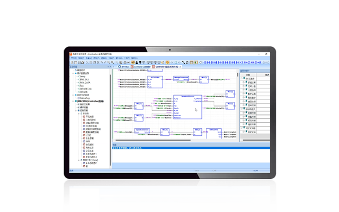
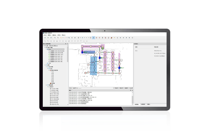

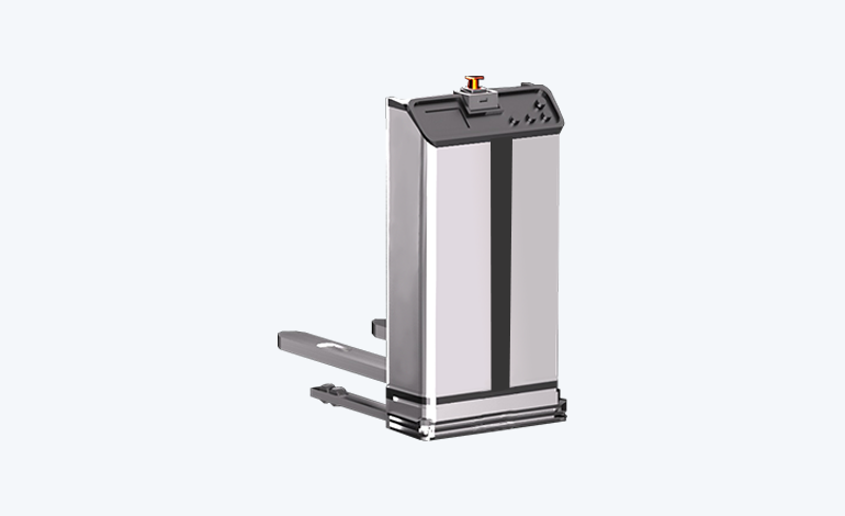
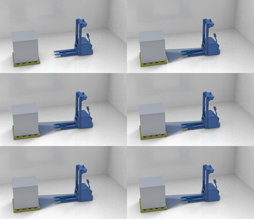
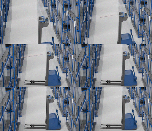
The overall solution of fork-type handling mobile robot is mainly divided into nine modules according to the whole vehicle function of the mobile robot, such as control system, navigation and sensing, chassis drive, actuator, safety detection, interaction module, communication module, power supply unit, and optional functions.
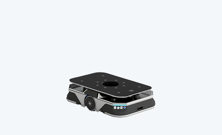
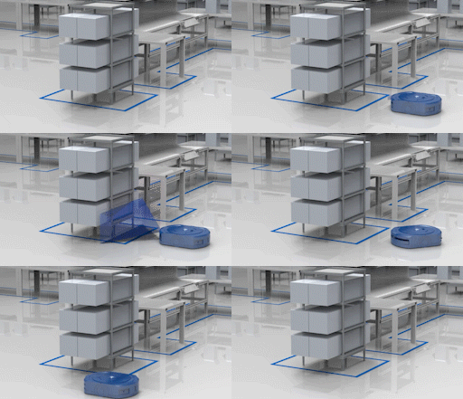
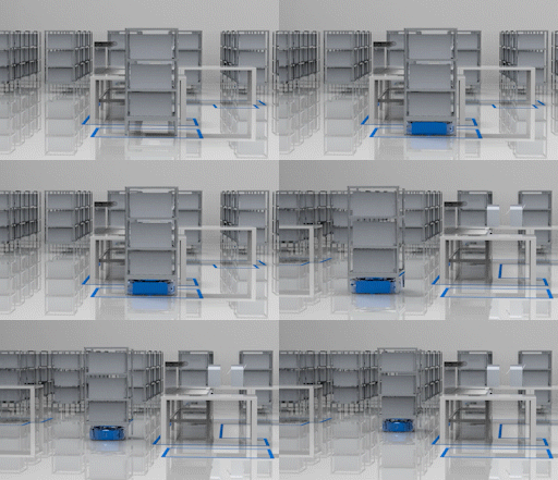
The overall solution of jacking and transporting type, according to the whole vehicle function of mobile robot, is mainly divided into the control system, navigation, and sensing, chassis drive, actuator, safety detection, interaction module, communication module, power supply unit, optional additional functions, such as the composition of the nine major unit modules.
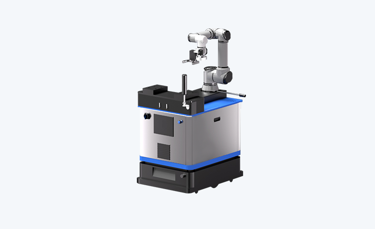
The cooperation mobile robot's overall solution, according to the mobile robot vehicle function, is mainly divided into the control system, navigation sensing, chassis drive, actuator, safety detection, interaction module, communication module, power supply unit, and optional functions, such as nine unit module composition.
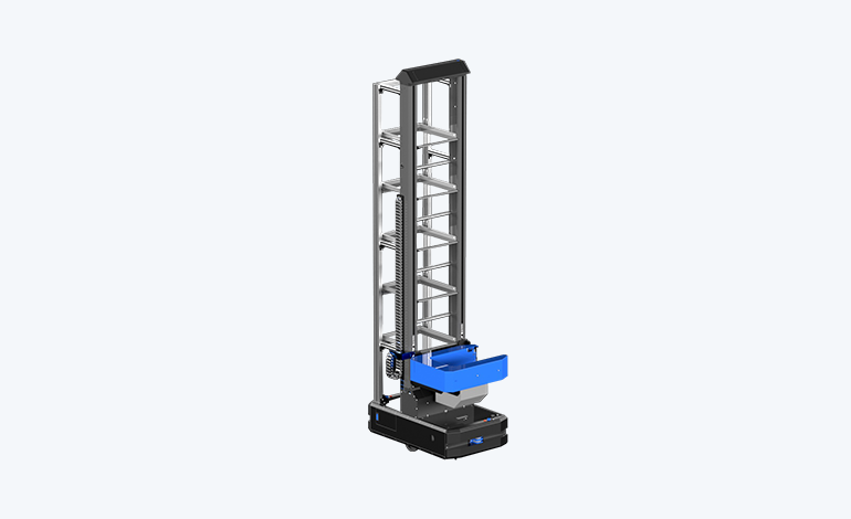
According to the whole vehicle function of the mobile robot, the overall solution of the bin-type mobile robot is mainly divided into control system, navigation and sensing, chassis drive, actuator, safety detection, interaction module, communication module, power supply unit, add functions and other nine unit modules.
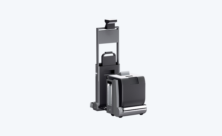
The overall solution of a traction mobile robot is mainly divided into control system, navigation and sensing, chassis drive, safety detection, interaction module, communication module, power supply unit, add functions, and other units and modules according to the function of the whole vehicle of the mobile robot.
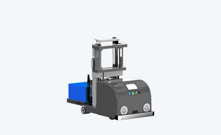
The overall solution for heavy-duty mobile robots is mainly divided into the control system, navigation and sensing, chassis drive, safety detection, interaction module, communication module, power supply unit, add functions, and other modules according to the function of the whole vehicle of the mobile robot.
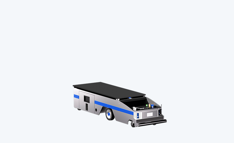
The overall solution of a platform handling mobile robot is mainly divided into the control system, navigation and sensing, chassis drive, safety detection, interaction module, communication module, power supply unit, add function, and other unit modules according to the whole vehicle function of the mobile robot.
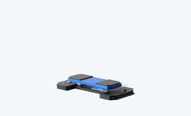
The overall solution of parking mobile robot is mainly divided into unit modules consisting of control system, navigation and sensing, chassis drive, safety detection, interaction module, communication module, power supply unit, and optional functions according to the whole vehicle function of the mobile robot.
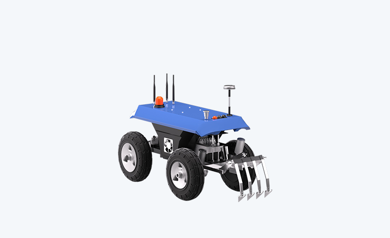
The overall solution of outdoor mobile robots is mainly divided into the control system, navigation, and sensing, chassis drive, safety detection, interaction module, communication module, power supply unit, add functions, and other units and modules according to the function of the whole vehicle of the mobile robot.